-
 ×
- Start
- Kunstafdrukken ▸
- Artiesten ▸
- Categorieën ▸
- Kunststijlen ▸
- Fotolijst ▸
- Drukwerk ▸
- Alle drukmedia
- Canvas Leonardo (satijn)
- Canvas Salvador (mat)
- Canvas Raphael (mat)
- FineArt Photo mat
- FineArt Photo satin
- FineArt Photo baryte
- FineArt Photo glossy
- Aquarel Karton Munch
- Aquarel Karton Renoir
- Aquarel Karton Turner
- Aquarel Karton Dürer
- Natural Line Hemp
- Natural Line Rice
- Kozo White, 110g
- Kozo Natural, 110g
- Inbe White, 125g
- Unryu, 55g
- Bamboo, 110g
- Premio Unryu, 165g
- Murakumo Natural, 42g
- Bizan Natural, 300g
- Bizan White, 300g
- Aluminium composiet 3mm
- Plexiglas 5mm
- Bestel een set samples
- Welk printmedium past?
Linnen
Fotopapier
Aquarelkarton
Natural Line
Japans papier
Speciale media
Meer informatie
- Hulp & Service ▸
- Neem contact met ons op
- Verkoop je kunst
- Veelgestelde vragen
- Openstaande functies
- Klacht
- Voorbeelden bestellen
- Waardebonnen bestellen
- Verzendkosten
- Productietijd
- Duurzaamheid
- Beeldonderzoek
- Speciale verzoeken
- Wie zijn wij?
- Prijsbeleid
- Bedrijfsbeleid
- Kwaliteitsbelofte
- Onderscheidingen
- Spieraam
- Passe-partouts
- Decoratieve lijsten
- Beglazing
- Fillets
- Ophangsystemen
- Drukmedia
- Verzorgingstips
- Impressum
- Algemene Voorwaarden
- Gegevensbescherming
- Annulatierecht
Informatie & Service
Meer informatie
Wetenswaardigheden
Legale informatie
- Shop ▸
- Contact





 Bekijk in 3D / AR
 Toevoegen aan favorieten
 Kies achtergrondkleur
 Aanschouw het schilderij in een ruimte
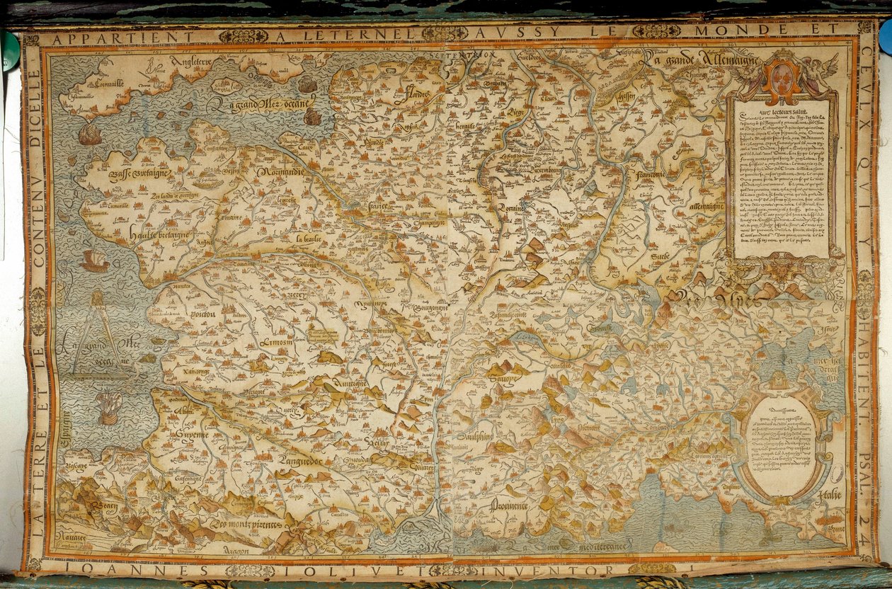
.jpg "Lotharingen, Frankrijk (gravure)")
.jpg "Lotharingen, Frankrijk (gravure)")
.jpg "Polen (gravure)")
.jpg "Bolivia en West-Amazonië")
.jpg "Duitsland, Tsjechoslowakije en Polen")
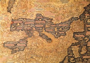
.jpg "Braunschweig en Maagdenburg, Duitsland (gravure)")
.jpg "Litouwen (gravure)")
.jpg "Bourgondië, Frankrijk (gravure)")
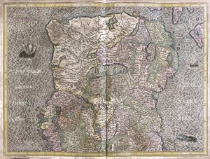
.jpg "Zeeland, Nederland (gravure)")
_Rome_(Italy_Region_Lazio)_Gulf_of_Trieste_(Ita_-_(MeisterDrucke-1529885).jpg "Comomeer (Italië; regio: Lombardije), Rome (Italië; regio: Lazio), Golf van Triëst (Italië: regio Friuli-Venezia Giulia; Slovenië: traditionele regio Sloveense kust; Kroatië: provincie Istrië)")
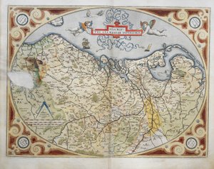
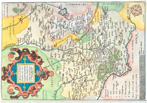
.jpg "Luxemburg (gravure)")
.jpg "Kaart van Tartary")
.jpg "Groningen en Friesland, Nederland (gravure)")
.jpg "Praag, Tsjechië (gravure)")
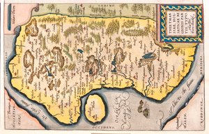
.jpg "Gelderland en Overijssel, Nederland (gravure)")
.jpg "Kaart van Mexico en Midden-Amerika, uit de")

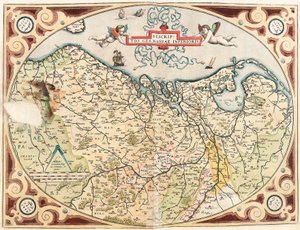
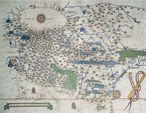
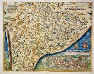
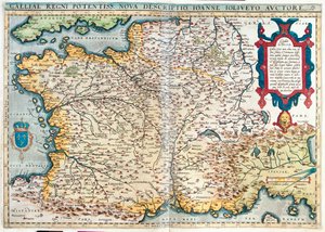
.jpg "De boerenbruiloft")
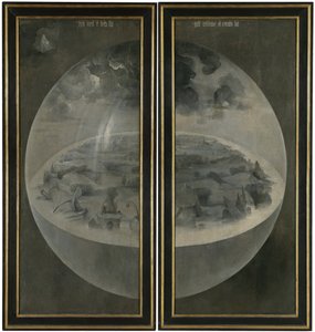
.jpg "De tuin der lusten")
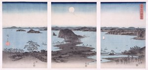
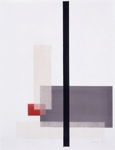
.jpg "Dennenbos, linker kamerscherm")

.jpg "Na het bad")
 - (MeisterDrucke-179768).jpg "Waterlelies, avond")
.jpg "Portret van een jonge vrouw, tekening")
.jpg "Rosa centifolia foliacea, honderdbladige roos, foliacea, uit Les Roses, 1817-24")

 +43 4257 29415
 support@meisterdrucke.com
 Mo-Do: 7:00 - 16:00 | Fr: 7:00 - 13:00